:quality(70)/arc-anglerfish-arc2-prod-cmg.s3.amazonaws.com/public/W23DVDZDVDDT3BIDB6VNOZWJMY.png)
Forecasting a winter storm is no easy task, even with the wide array of technology meteorologists have at their fingertips in the 21st century. The number of variables, and the discrepancies in different data sets, can make coming to a certain conclusion very difficult.
Here’s a look at some of the factors that affect a winter forecast:
SMALL CHANGES CAN MAKE BIG DIFFERENCES
When it comes to forecasting winter storms, distances as relatively incremental as 25-50 miles can make a big difference. Add in our topography – mountains and valleys – and forecasting what's going to fall, when it’s going to happen and where it have an effect is a challenge.
The forecast can and will change. That's why our team of meteorologists at Severe Weather Team 11 always encourage you to check back often for updates to the forecast.
>>RELATED: Winter weather: How to shovel, remove snow safely
STORM TRACK AND TIMING
Storm track and timing will eventually tell the story of what you'll get as a storm moves through your area.
A shift in the storm track closer to Pittsburgh can mean milder air and less (or no) snow and more rain, while a shift to the south can often bring colder air and more snow.

The timing of the storm is also critical, because the moisture it brings could come too early or too late to catch up to the coldest air, a combination that determines what type of precipitation will fall and how much.
RESOURCES:
- 7 winter driving tips
- What to use as an ice scraper when you definitely don't have one
- 5 hacks to keep your smartphone charged during a power outage
- 7 tips to keep your pets safe during winter weather
HOW MUCH COLD AIR IS AVAILABLE
Once the track and timing come into focus, meteorologists start to look at temperatures. Remember the 25-50 mile reference earlier? You could drive from Canonsburg to Cranberry and have literally four different types of winter weather, all from the same storm.
We call this the “transition zone,” where snow changes to rain or a wintry mix, and nailing down where it will set up is tricky. We look at the vertical structure of the temperature in the atmosphere all the way down to the surface to determine what type of precipitation will fall.
:quality(70)/d1hfln2sfez66z.cloudfront.net/07-15-2021/t_4bb623e4aabb4258b29b3285f99d8066_name_How_To_Prepare_For_Winter_Weather_3851063_500_.jpg)
Think of the atmosphere like a giant cake. We live on the lowest level, but weather and temperature changes are happening thousands of feet above us. That's where the stuff you shovel or scrape begins, and a change of just one degree can really change what you'll get.
Temperatures change as storms bring both warm air ahead and cold air behind. While one area is getting rain, the other is getting freezing rain, sleet or snow.
If you want to receive BREAKING ALERTS, please download our WPXI News App. You can also follow WPXI on Facebook and Twitter.
Snow forms when it's below freezing from the clouds to the ground. Sleet forms when a warmer layer above melts snow as it falls, and then it refreezes in a cold layer near the surface.
Freezing rain forms, like sleet, when a warmer layer above melts snow as it falls, but there's not enough cold air for it to refreeze before it reaches the ground. So it falls as rain and freezes on contact when it hits the ground.
:quality(70)/d1hfln2sfez66z.cloudfront.net/11-20-2019/t_2c8df865df244d97bb4d1648e4f9cba2_name_CDE123CF57C3409C88C8E59F10D97DA3.jpg)
COMPUTER MODELS PREDICT THE WEATHER OF THE FUTURE
You've heard our team talk about computer models that help predict weather patterns. Weather models use mathematical equations to create a picture of how the weather will look several days down the road.
But models are only as good as the data that goes into them, and-for systems tracking from the Pacific Ocean through the U.S. to Pittsburgh, there's a lot of room for change.
Take a look at this description of long-range forecasting from the National Weather Service.

NO EXCUSES
So, when Severe Weather Team 11 starts forecasting the next winter storm, remember we're fighting an uphill battle to let you know what, when, where and how much you'll see.
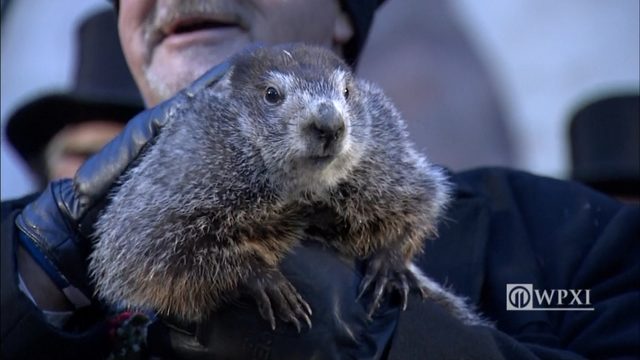
Sometimes we'll bust, and we won't make excuses. And, sometimes we'll smile, like Punxsutawney Phil.
TRENDING NOW:
- LIVE UPDATES: Wind Chill Advisory issued for entire area
- Pastor who bought $200K Lamborghini for wife lives in $1.8M house paid for by church
- Man pulled from Allegheny River dies at hospital
- VIDEO: Teen Presumed Dead After Being Swept into Pacific Ocean
- DOWNLOAD the Channel 11 News app for breaking news alerts
Cox Media Group
/cloudfront-us-east-1.images.arcpublishing.com/cmg/XCUXZC2XYZHCRGNNGKFEX6U3LQ.png)
:quality(70)/cloudfront-us-east-1.images.arcpublishing.com/cmg/IPJCTISQ4VCFFB5PDWTZNMGXPE.jpg)
:quality(70)/cloudfront-us-east-1.images.arcpublishing.com/cmg/5IIMOD2KFVEVDHOA5KZJYMDILQ.png)
:quality(70)/cloudfront-us-east-1.images.arcpublishing.com/cmg/PDNVGUUQUFHLBMLJHAECFZ3TPE.jpeg)
:quality(70)/d1hfln2sfez66z.cloudfront.net/04-15-2024/t_eef157d55f214964ad9a11462206da0e_name_craddockchase6pp041524_transfer_frame_785.jpeg)
:quality(70)/cloudfront-us-east-1.images.arcpublishing.com/cmg/D6GKERJJXFCFXEZ3ZGQGR3EFIY.jpeg)