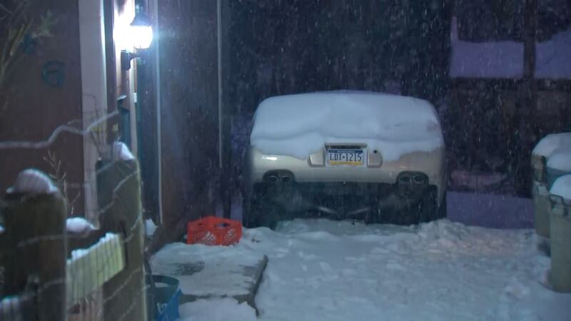
PITTSBURGH — A Winter Weather Advisory is in effect until 4 a.m. Sunday due to the threat of freezing rain and freezing fog. A light glaze of ice will be possible on untreated surfaces. Temperatures overnight will fall to near 20 degrees with light winds.
A Winter Weather Advisory has been issued until 4 a.m. Sunday to account for that freezing drizzle/freezing fog I mentioned on @wpxi at 6. #PAwx #Pittsburgh pic.twitter.com/SLzdTYqdzn
— Danielle Dozier WPXI (@DanielleDozier) February 13, 2021
Valentine’s Day will bring a mostly cloudy sky with highs in the upper 20s so bundle up if you’re heading out for lunch.
A Winter Storm Watch will go into effect at 1 a.m. Monday and continue until 1 p.m. Tuesday for Pittsburgh and points north and west, including Washington County. Two rounds of precipitation are expected.
The first wave of snow will develop early Monday morning before sunrise, bringing the threat of a trace to three inches of snow. The lesser amounts will be across Fayette County and the higher amounts will be across our northwest counties.
If you want to receive alerts about weather, download our Severe Weather Team 11 app.
The second wave, which could include a bit of freezing rain, rain or sleet south of I-70 will move in Monday evening into Tuesday. This is where we look to pick up the bulk of our snow accumulation. Right, Pittsburgh is expected to see all snow, but you’ll want to keep checking back. Snow totals will drop off as you travel into parts of Greene and Fayette counties where mixed precipitation is expected.
Stay with our team of meteorologists as we break down the track, timing, precipitation type and totals as this system develops through the weekend.
TRENDING NOW:
Cox Media Group
/cloudfront-us-east-1.images.arcpublishing.com/cmg/XCUXZC2XYZHCRGNNGKFEX6U3LQ.png)


