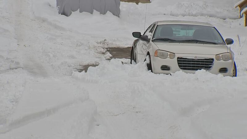
PITTSBURGH — The snow could cause areas of reduced visibility and any untreated roads will get snowy overnight.
Temperatures will only be in the upper 20s today with light northeast winds.
The snow could cause delays early Thursday, so check in with Severe Weather Team 11 before heading out in the morning. Steady snow will taper to snow showers, but crews will still be working hard to keep roads clear.
If you want to receive alerts about weather, download our Severe Weather Team 11 app.
Colder temperatures will mean icy spots so watch for black ice. Roads may look wet, but they could be slick-especially where a fresh coating of snow has fallen. You’ll need the extra layers when you head out too. Wind chills will drop into the low teens, so when you’re scraping the windshield or shoveling, you’ll feel the chill.
A Winter Weather Advisory is in effect for areas south and east of Pittsburgh until 9 a.m. Thursday, where 4 to 6 inches of snow will be possible. There will be another burst of snow showers during Thursday morning’s commute.
Snow moves back in this afternoon and continues through the night. Allow extra time if you head out Stay with Severe Weather Team 11 through the day for updates. #WPXIStorm pic.twitter.com/QGrLf0UsvX
— Stephen Cropper (@WPXICropper) February 10, 2021
Another system could bring light snow back to areas mainly south of Pittsburgh into Friday morning, with more snow showers through the weekend.
Stay with Severe Weather Team 11 as we bring you the latest forecast updates and details on when wintry conditions will have the biggest impact on your plans.
RELATED COVERAGE:

Cox Media Group
/cloudfront-us-east-1.images.arcpublishing.com/cmg/XCUXZC2XYZHCRGNNGKFEX6U3LQ.png)


