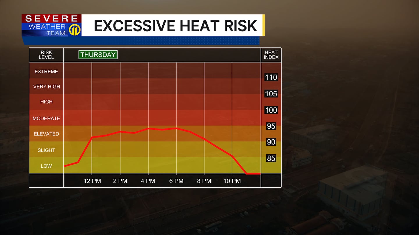
PITTSBURGH — Heat and humidity will combine to make it feel more like the low to mid 90s Thursday, so plan ahead if you’re spending extended time outdoors.
Scattered showers and storms will also move through the area from time to time, bringing the threat for heavy downpours, lighting and damaging winds.

Friday brings a higher threat for severe storms with damaging winds and hail so have the Severe Weather Team 11 app with you for the latest alerts, watches and warnings.
Humidity levels will drop a bit Saturday making it feel more comfortable.
Download the FREE WPXI News app for breaking news alerts.
Follow Channel 11 News on Facebook and Twitter. | Watch WPXI NOW
©2026 Cox Media Group
/cloudfront-us-east-1.images.arcpublishing.com/cmg/XCUXZC2XYZHCRGNNGKFEX6U3LQ.png)


