PITTSBURGH — Winter Weather Advisories go into effect for Indiana County and the I-80 corridor today with a fresh round of snow breaking out by afternoon.
Snow will be around on and off this afternoon with the steadiest snow near I-80. A few spots may warm up enough for a brief mix of rain with the snow, but cold ground temperatures will mean that any snow that falls will stick and become slick if not treated. Most areas will see around 1″ of snow with higher amounts expected north of Butler.
Highs will be in the 30s Wednesday and Thursday before a fresh blast of arctic air brings potentially our coldest air so far this season for Friday night and Saturday.
A southern storm will bring snow back for parts of the area late Saturday and off and on Sunday. The track and timing will change, but a significant snow is possible for at least parts of the area. So keep an eye on the Severe Weather Team 11 forecast for updates.
The track of the storm will determine where the most snow falls but with the cold in place even a light accumulation will have an impact.
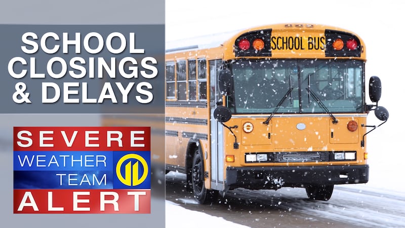
Get the latest forecast updates from Severe Weather Team 11 on air and on the Severe Weather Team 11 app.
Download the FREE WPXI News app for breaking news alerts.
Follow Channel 11 News on Facebook and Twitter. | Watch WPXI NOW
©2026 Cox Media Group
/cloudfront-us-east-1.images.arcpublishing.com/cmg/XCUXZC2XYZHCRGNNGKFEX6U3LQ.png)