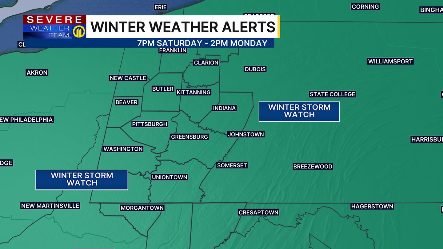
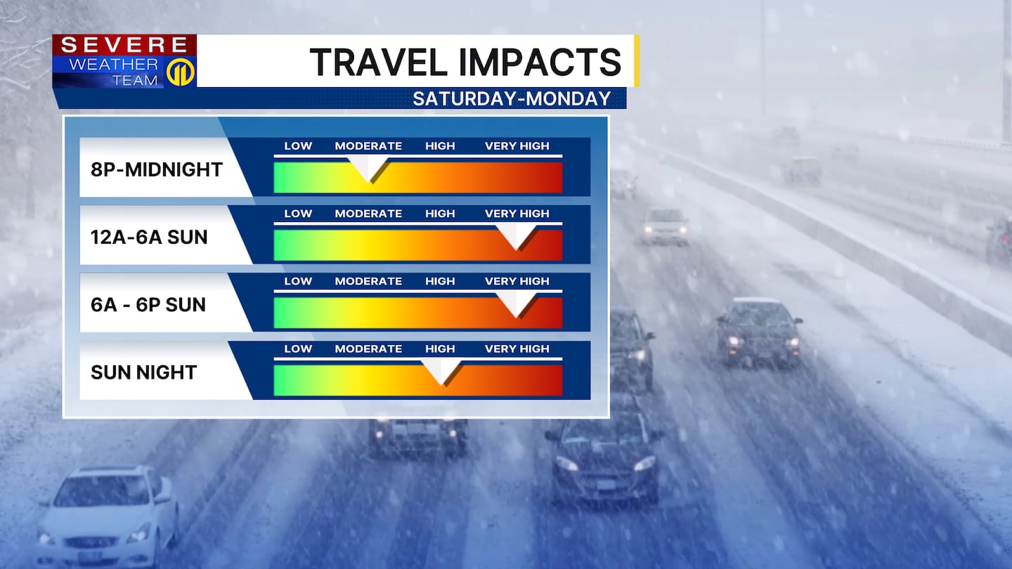
PITTSBURGH — A major winter storm will bring significant impacts to the area this weekend, with snow beginning late Saturday into early Sunday morning and continuing off and on through Monday.
Click here to track the snow with LIVE RADAR.
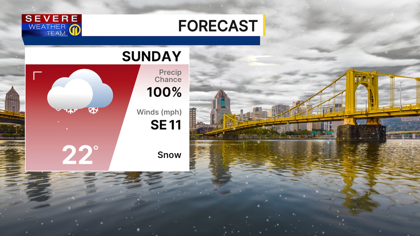
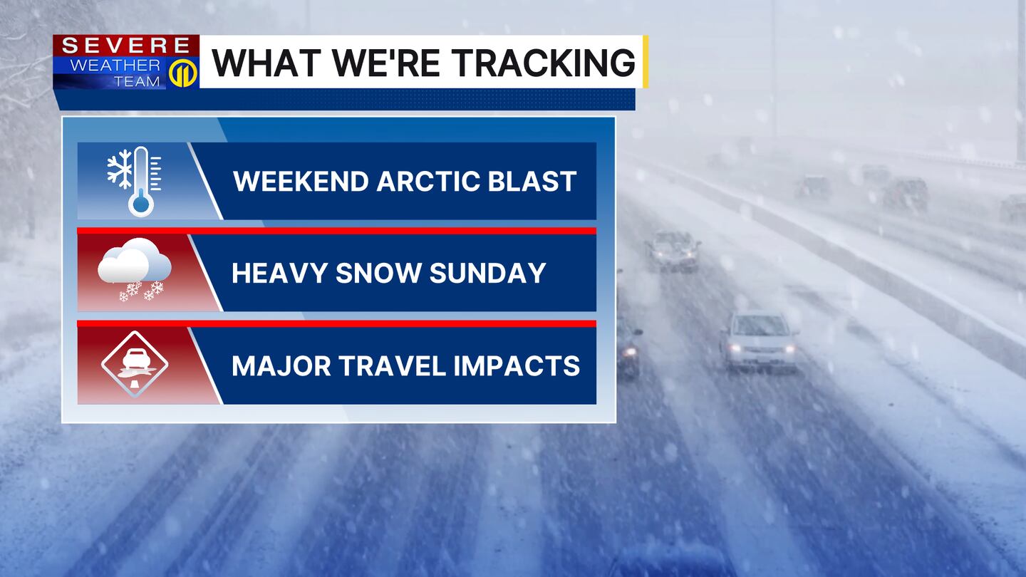
Snow will be moderate to heavy at times with snow-covered roads and reduced visibility, especially during the day Sunday into Sunday night. Rather than waiting until the snow stops, shovel often to stay ahead of the storm.
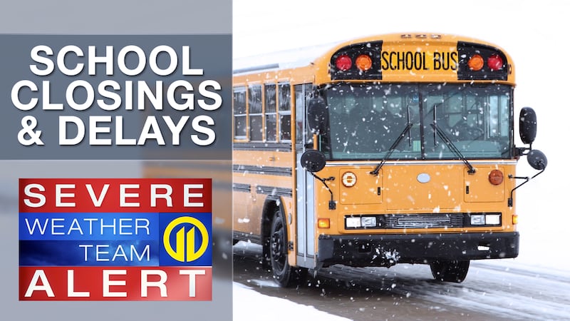
Click here for a list of closings and delays.
Snowfall totals of 8-12″ are likely for much of the area with potential for upward adjustments should current trends hold. A little sleet or freezing rain could mix in toward the end of the event southeast of Pittsburgh, closer to the Mason-Dixon line, but this is looking like mainly a snow event for the city.
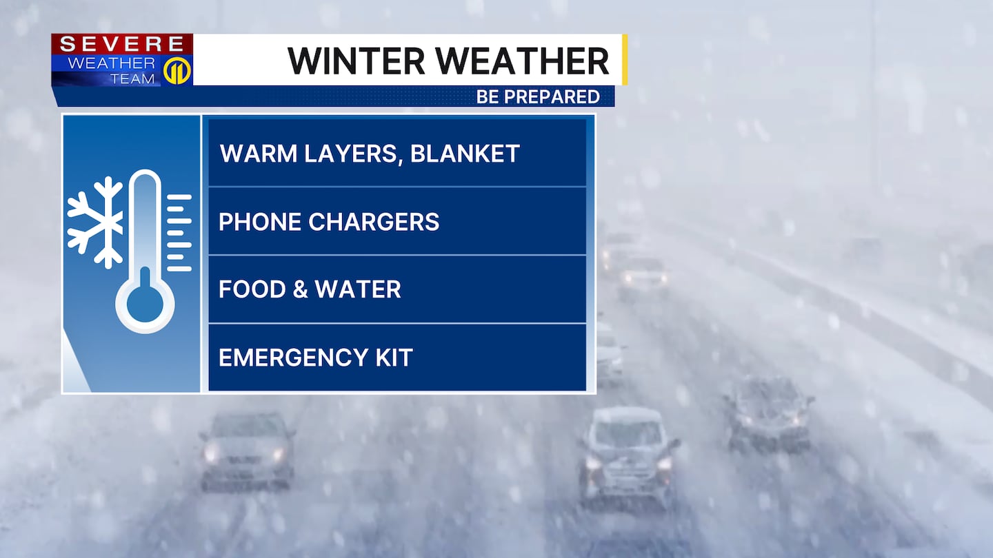
Very cold temperatures through next week with wind chills near zero at times.
Stay with Severe Weather Team 11 for the latest Winter Storm Updates in your area.
Download the FREE WPXI News app for breaking news alerts.
Follow Channel 11 News on Facebook and Twitter. | Watch WPXI NOW
©2026 Cox Media Group
/cloudfront-us-east-1.images.arcpublishing.com/cmg/XCUXZC2XYZHCRGNNGKFEX6U3LQ.png)