PITTSBURGH — Clouds will increase today ahead of the next front. Aside from a stray shower this afternoon, most of the day will be dry...just a little more humid with highs in the low to mid 80s.
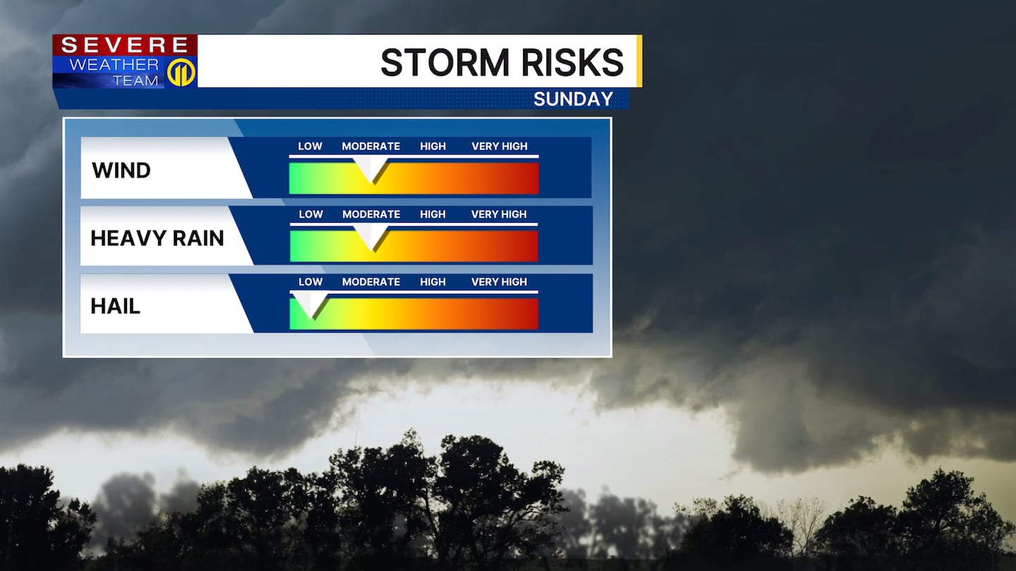
Rain returns sometime after midnight with showers and a few downpours around Sunday morning. There will be breaks throughout the day, but showers and eventual storms may train over the same areas, leading to a localized flash flood threat. The overall risk for severe thunderstorms is low, but if we do see a sizeable break, a gusty storm or two could develop late in the day.
That same system will slow down and park itself nearby for much of next week. That means a daily chance for showers and storms through at least Wednesday and Thursday. No day is a washout, but the main concern will be slow-moving showers each afternoon.
Temperatures will start to creep above average next week, with highs pushing into the mid-80s and nighttime lows near 70.
Download the FREE WPXI News app for breaking news alerts.
Follow Channel 11 News on Facebook and Twitter. | Watch WPXI NOW
©2026 Cox Media Group
/cloudfront-us-east-1.images.arcpublishing.com/cmg/XCUXZC2XYZHCRGNNGKFEX6U3LQ.png)


