Comfortable but hazy start to the day, before chance of isolated storms later on
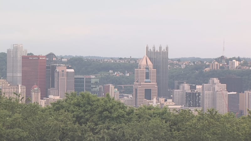
It’s a comfortable but hazy start to the day as more wildfire plumes have arrived.
WPXI Now

It’s a comfortable but hazy start to the day as more wildfire plumes have arrived.
Seasonable weather is ahead this weekend, with temperatures very close to average and more typical humidity levels for late July.
More seasonable weather will take over this weekend as high temperatures head back into the low 80s.
Temperatures this morning plunged into the mid-40s to low-50s... very close to record lows. Pittsburgh is having its coolest July morning in a dozen years.
Finally, a quiet stretch of weather! It will be cool and comfortable today with high temperatures only in the low 70s.
Scattered strong to severe thunderstorms are expected this evening.
A code purple air quality alert is in effect for the entire commonwealth today for the first time ever! Very unhealthy to hazardous air quality is expected throughout the day.
A code red air quality alert is in place for the entire region today as we watch the leading edge of smoke push into our area.
/cloudfront-us-east-1.images.arcpublishing.com/cmg/XCUXZC2XYZHCRGNNGKFEX6U3LQ.png)