It’ll be very cold this evening. Temperatures are in the teens with wind chills below zero.
>>> Pittsburgh area closings and delays <<<
On-and-off lake effect snow showers are possible through the evening, mainly north of Pittsburgh. Even light snow showers could put a coating of snow back on roads in spots. Use caution when driving, as there are still slippery and icy conditions on roads, parking lots and sidewalks.
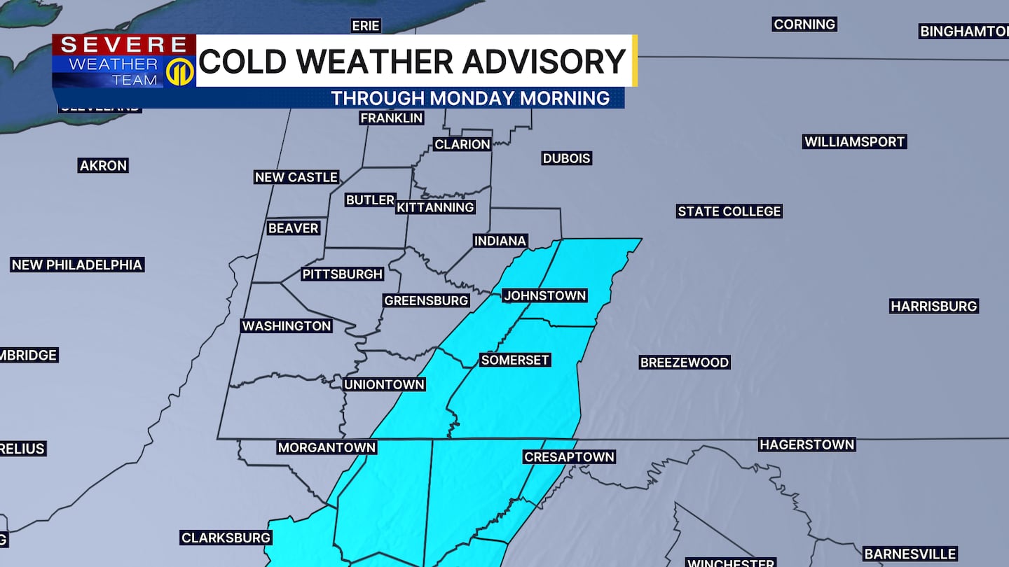
The cold wind will continue tonight into the morning with wind chills still expected to be below zero for the start of the morning on Monday. Make sure to stay safe in the cold. Dress in layers, wear waterproof boots, and make sure to cover exposed skin. Bitter cold conditions will continue through Monday with highs in the upper teens. Afternoon wind chills will be in the upper single digits to around 10 degrees.
Tuesday will not be as frigid but still cold, with highs around the freezing mark. Expect a midweek warm-up to the 40s on Wednesday and near 50 degrees by Thursday, with rain on the way later in the week.
Make sure to check the latest forecast on Channel 11 News. Here’s how to download the Severe Weather Team 11 app, so you can get the latest updates and alerts.
Download the FREE WPXI News app for breaking news alerts.
Follow Channel 11 News on Facebook and Twitter. | Watch WPXI NOW
©2025 Cox Media Group
/cloudfront-us-east-1.images.arcpublishing.com/cmg/XCUXZC2XYZHCRGNNGKFEX6U3LQ.png)


