PITTSBURGH — City officials say they have an ambitious plan with “a people-first vision” to make it easier to get around downtown Pittsburgh.
The Downtown Mobility Plan is extremely detailed. Included in the plan are calls for using certain streets strictly for pedestrians, encourages less single-car traffic and highlights Pittsburgh’s finest natural resources by connecting the Allegheny and Monongahela rivers with a pedestrian path through Market Square.
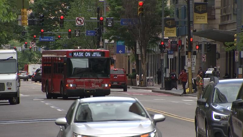
Liberty Avenue would be used as a bus route and Smithfield Street would be totally redesigned.
>>RELATED STORY: Downtown Pittsburgh looking to recover after COVID-19 pandemic
A study was started more than two years ago, and changes have already started in Pittsburgh. One example is the transformation of Fort Duquesne Boulevard into a pop-up park until October.
The study also calls for categorizing streets as “gateway streets” for high volume, “district streets” for medium volume, “activity streets” for destination hangouts and, finally, “neighborhood streets.”
Overall, the study has more than 250 ideas.
The Pittsburgh Downtown Partnership says the plan is essential for the Golden Triangle.
TRENDING NOW:
Cox Media Group
/cloudfront-us-east-1.images.arcpublishing.com/cmg/XCUXZC2XYZHCRGNNGKFEX6U3LQ.png)


